CyberMAP
Cyber-physical Multi-factor Authentication-based Positioning for Autonomous Vehicles

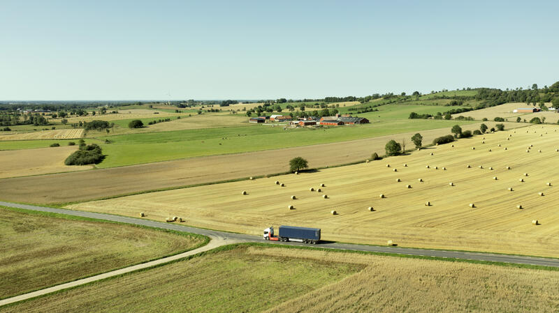
Autonomous vehicles (AVs) have rapidly become a major focus of the automotive industry in recent years. The promise of autonomous vehicles is that they have the potential to revolutionize transportation, providing greater safety, sustainability, efficiency, and accessibility. However, AVs cannot operate at full performance without enhancing modern roads, and as vehicles evolve in technology levels, so too must the infrastructure advance and evolve. Infrastructure such as roads and highways that exist today were primarily designed for human-driven vehicles with signage, markings, and signals designed almost exclusively for human perception and response. This presents a challenge for the integration of autonomous vehicles into the existing transportation system, as they operate differently from traditional vehicles and may have different infrastructure needs.
This project introduces the shapetag, a concept similar to “hyperlinks” on a webpage, which creates an easily located yet specific information-rich cue that allows an AV to access and/or verify its location and obtain geo-specific data.

Shapetag, using geometric patterns, can generate a vast array of unique 2D and 3D marks. These marks serve as secure, serialized, hard-to clone identifiers, both for physical and digital entities. Their uniqueness ensures rapid authentication via conventional mobile devices and guarantees security against unauthorized decoding. Because the geo-tags can encode information that is geo-referenced, the AV’s localization process is externally verified, allowing the AV to determine the precise location of the vehicle within its environment.
The primary aim of this project is to successfully demonstrate a proof of concept that validates the utilization of shapetag as an innovative cyber-physical infrastructure for AV operation. By executing tests on both AstaZero and Penn State AV test tracks, the project intends to underscore the viability, efficiency, and precision of shapetag in enhancing autonomous vehicle localization and operation. The project intends to design and execute experiments to assess the reliability of shapetag detection across varied environmental conditions, which encompass differing sizes, lighting scenarios, distances, and color variations, among others.
Project manager: Victor Jarlow, AstaZero
Parties: AstaZero, Pennsylvania State University
Period: 2023 to 2025
Do you want to know more?

What we offer actors in the United States

What we offer actors in Sweden
Our innovation projects

A Design Framework for Women-Centered Mobility Hub
Advancing mobility through sustainable, robust, and innovative battery technology

AI Aware
Carbon free zone for transportation of goods in San José

CyberMAP

Exchange for more BETs
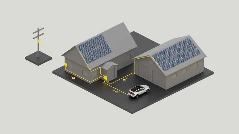
Implementation Roadmap for Swedish Automotive Vehicle-to-Grid Services in California

JustFuture

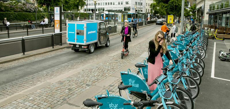
Shared Standards for Shared Mobility
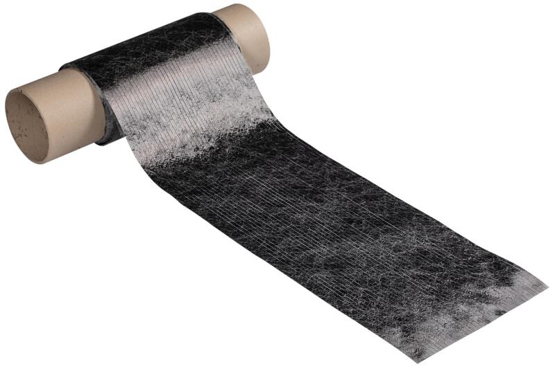
Sustainable and low-cost methodologies for manufacturing high-performance composite materials
Sweden California CoLab

The Street Value Tool

Transatlantic Cooperation for Leveling Up MaaS

Transit Oriented Development (TOD), mobility hubs and Shared Autonomous Vehicles (SAVs)
Triggering Regional Accessibility and Networks for Sustainable Intelligent Transportation